Easiest 14ers in Colorado for Beginners: Complete 2026 Guide
January 7, 2026
Summiting a 14,000-foot peak is a bucket-list achievement for many hikers, and Colorado has 58 of them—more than any other state. The good news? Several "fourteeners" are accessible to fit hikers without technical climbing experience. Here are the easiest 14ers in Colorado, ranked by difficulty, with everything you need for a successful summit.
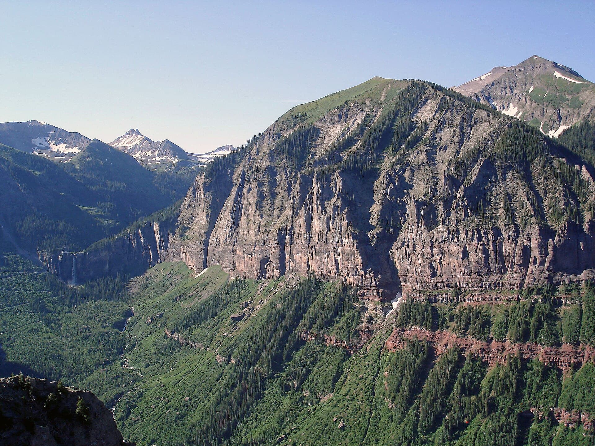
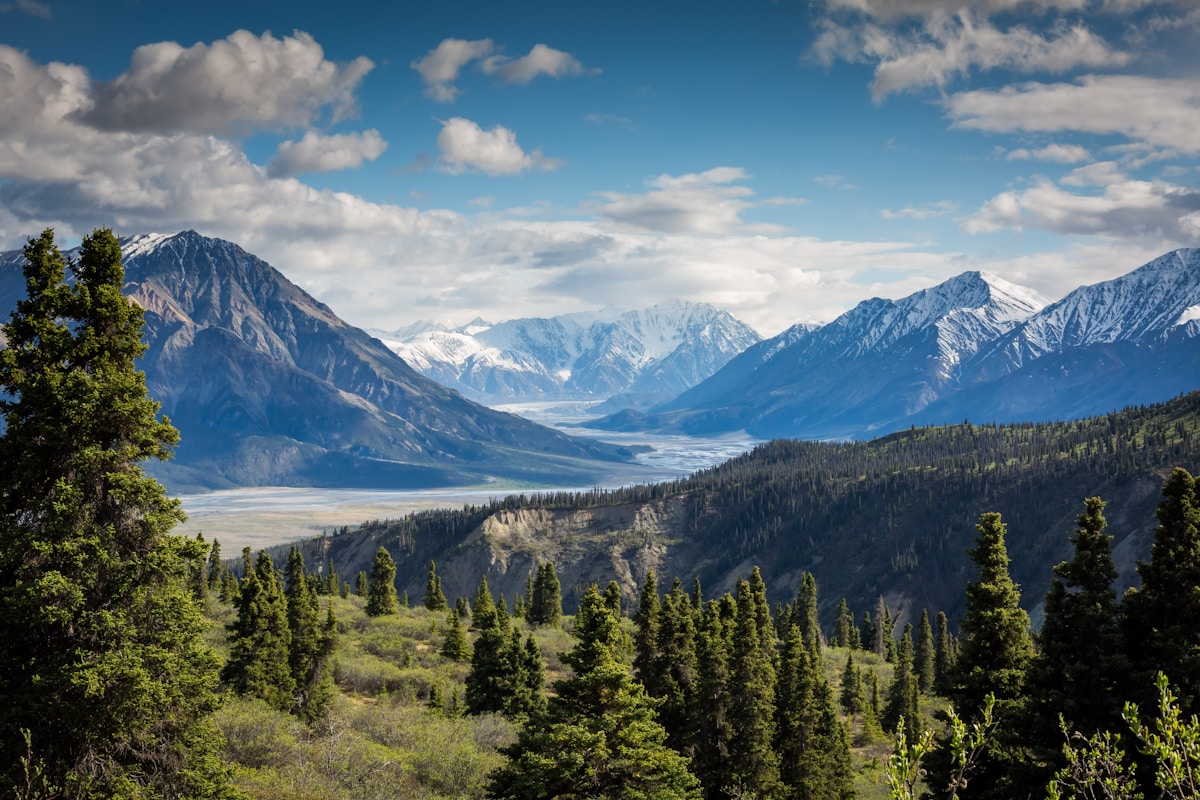 Colorado's 14ers offer some of the most rewarding hiking experiences in North America. Photo: Unsplash
Quick Reference – Easiest to Hardest:
-
Mount Bierstadt – 7 mi, Class 2 – Best first 14er
-
Quandary Peak – 6.75 mi, Class 1 – Most popular, well-marked
-
Grays Peak – 8.4 mi, Class 1 – Pair with Torreys for double summit
-
Mount Elbert – 9.5 mi, Class 1 – Highest in Colorado!
-
Handies Peak – 5.5 mi, Class 1 – Shortest hike, remote location
-
Mount Sherman – 5.2 mi, Class 2 – Mining history, short but steep
-
Mount Democrat – 5.4 mi, Class 2 – Part of "Decalibron" loop
🏔️ Want the complete 14ers experience? Check out our Complete Guide to Colorado's 58 Fourteeners for all peaks, difficulty ratings, and advanced climbing tips.
Table of Contents
Before Your First 14er: Essential Preparation
Physical Preparation
14er hikes are significantly harder than lower-elevation trails. If you're new to hiking in Colorado, start with our Colorado Hiking for Beginners guide first—or try some day hikes near Denver to build your fitness. At 14,000 feet, you're breathing air with 43% less oxygen than sea level. Even fit hikers struggle.
Minimum fitness requirements:
-
Able to hike 8+ miles with 3,000+ feet elevation gain at lower altitude
-
Comfortable hiking 4-6 hours continuously
-
No recent cardiovascular or respiratory issues
-
Have trained on hilly terrain with a loaded pack
Acclimatization (CRITICAL)
If you're coming from sea level or low altitude:
-
Minimum: Spend 1-2 nights at 8,000+ feet before your climb
-
Better: Spend 2-3 nights, including one at 9,000-10,000 feet
-
Best: Hike a 12,000-13,000 foot peak first as a test (try Blue Lakes Trail for practice)
Altitude sickness can affect anyone regardless of fitness. It can be life-threatening if ignored.
Altitude Sickness Symptoms
-
Mild (common): Headache, fatigue, nausea, loss of appetite
-
Moderate: Severe headache, vomiting, difficulty sleeping, shortness of breath at rest
-
Severe (descend immediately): Confusion, loss of coordination, persistent cough, chest tightness
The treatment for altitude sickness is descent. If symptoms worsen, go down immediately.
Weather & Timing
Colorado's afternoon thunderstorms are the #1 danger on 14ers. Lightning kills hikers every year.
Summer 14er rules:
-
Start at trailhead by 5-6 AM
-
Summit by 12 PM (noon) at the latest
-
Be below treeline by 1-2 PM
-
If you see dark clouds building, turn around
Best months: Late June through September. Earlier dates may have snow requiring different gear.
What to Bring
-
Sturdy hiking boots with ankle support
-
3+ liters of water in a hydration bladder (you'll drink more than you expect)
-
2,000+ calories of trail food and snacks
-
Rain jacket and warm layer (temperatures drop ~20°F at summit)
-
Sun protection: SPF 50+, sunglasses, hat (UV is intense at altitude)
-
Trekking poles (highly recommended)
-
Trail map/GPS app with offline maps
-
A reliable daypack (30-40L)
-
Headlamp (in case you're out after dark)
-
First aid kit
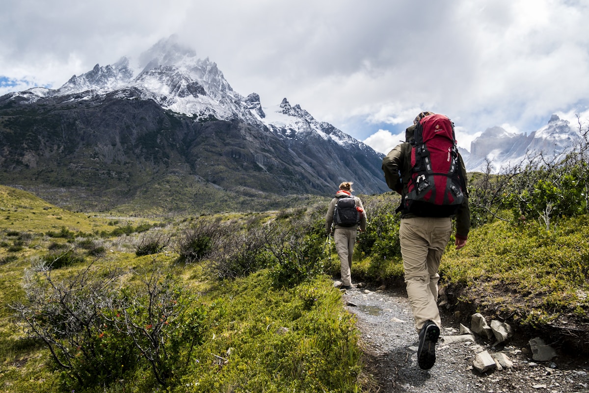 The view from a 14er summit is worth every step of the climb. Photo: Unsplash
The 7 Easiest 14ers in Colorado
1. Mount Bierstadt (14,060') – Best First 14er
The Stats:
-
Distance: 7 miles round trip
-
Elevation Gain: 2,850 feet
-
Class: 2 (some scrambling near summit)
-
Time: 4-6 hours
-
Location: 60 miles west of Denver via I-70
-
Trailhead: Guanella Pass (11,669')
Why It's Great for Beginners:
Mount Bierstadt consistently ranks as the best first 14er because of its moderate distance, excellent trailhead access, and well-defined trail. The high starting elevation (11,669') means less total climbing than most 14ers.
The Hike:
From Guanella Pass, the trail descends briefly into a stunning willow-filled valley before beginning the main ascent. The final 500 feet involves some Class 2 scrambling over rocks—use hands for balance but no technical skills required. Summit views include Mount Evans, the Sawatch Range, and on clear days, the distant Sangre de Cristos.
Pro Tips:
-
Parking fills by 6 AM on summer weekends—arrive early
-
The willows at the valley bottom can be wet in morning—gaiters help
-
For extra adventure, traverse to Mount Evans (Class 3, experienced only)
Trailhead Directions: From I-70, take Exit 228 (Georgetown). Follow signs for Guanella Pass Road south. Trailhead parking is at the top of the pass. Google Maps: "Mount Bierstadt Trailhead"
2. Quandary Peak (14,265') – Most Popular
The Stats:
-
Distance: 6.75 miles round trip
-
Elevation Gain: 3,450 feet
-
Class: 1 (non-technical hiking)
-
Time: 4-6 hours
-
Location: Near Breckenridge
-
Trailhead: Quandary Peak Trailhead (10,850')
Why It's Great for Beginners:
Quandary is the most hiked 14er in Colorado for good reason. The trail is well-maintained, clearly marked, and Class 1 the entire way (no scrambling required). It's also close to Breckenridge's amenities.
The Hike:
The trail climbs steadily through forest, then opens to alpine tundra with sweeping views. The final ridge to the summit is exposed but wide. On busy weekends, expect hundreds of other hikers—the "conga line" to the summit is famous.
Pro Tips:
-
Weekday hikes are dramatically less crowded
-
Start by 5 AM on weekends—parking fills completely
-
The final summit ridge is windy—bring a wind layer
-
Great early-season option (often hikeable by late May)
Trailhead Directions: From Breckenridge, head south on CO-9. Turn right onto County Road 850 (Blue Lakes Road). Continue 0.5 miles to the signed trailhead. Google Maps: "Quandary Peak Trailhead"
3. Grays Peak (14,270') – Double Summit Opportunity
The Stats:
-
Distance: 8.4 miles round trip (Grays only) or 9.4 miles (Grays + Torreys)
-
Elevation Gain: 3,000 feet
-
Class: 1
-
Time: 5-7 hours (add 1 hour for Torreys)
-
Location: 50 miles west of Denver
-
Trailhead: Stevens Gulch (11,280')
Why It's Great for Beginners:
Grays and its neighbor Torreys Peak offer the easiest double-summit day in Colorado. The connecting saddle between peaks is a straightforward Class 1 traverse, making this the most efficient way to bag two 14ers in one hike.
The Hike:
The trail follows Stevens Gulch through alpine meadows before ascending steep switchbacks to Grays' summit. From there, an obvious trail descends to the saddle before climbing Torreys (14,267'). Most hikers summit both.
Pro Tips:
-
The road to the trailhead is rough—high clearance recommended
-
Alternative: Park at lower lot and add 1.5 miles each way
-
Do Grays first, then Torreys—better to descend Grays' switchbacks
-
Can be very crowded—weekdays recommended
Trailhead Directions: From I-70, take Exit 221 (Bakerville). Cross under the highway and turn left onto Stevens Gulch Road. Continue 3 miles to trailhead (4WD helpful for last 0.5 mile).
4. Mount Elbert (14,439') – Highest in Colorado
The Stats:
-
Distance: 9.5 miles round trip (North Trailhead)
-
Elevation Gain: 4,700 feet
-
Class: 1
-
Time: 6-9 hours
-
Location: Near Leadville
-
Trailhead: North Mount Elbert Trailhead (10,040')
Why It's on This List:
While longer than others on this list, Mount Elbert is non-technical and offers the accomplishment of standing on Colorado's highest point. It's the second-highest peak in the contiguous US.
The Hike:
The North Trail is the most popular route, ascending through forest before opening to alpine terrain. The summit is a broad, flat area with 360-degree views. False summits can be mentally challenging—the true summit isn't visible until you're close.
Pro Tips:
-
Start extra early (4:30-5 AM)—this is a long day
-
Leadville (at 10,152') is a great acclimatization base
-
South trailhead is shorter but steeper
-
Elbert Creek Campground is near the trailhead
Trailhead Directions: From Leadville, head south on US-24. Turn right onto CO-300, then left on Halfmoon Creek Road. Continue to North Mount Elbert Trailhead.
5. Handies Peak (14,048') – Shortest Hike
The Stats:
-
Distance: 5.5 miles round trip
-
Elevation Gain: 2,500 feet
-
Class: 1
-
Time: 3-5 hours
-
Location: Near Lake City (remote)
-
Trailhead: American Basin (11,600')
Why It's Great for Beginners:
Handies has the shortest hiking distance of any standard 14er route. The high trailhead and Class 1 trail make this extremely accessible despite its remote location.
The Hike:
Starting from stunning American Basin (famous for wildflowers in July), the trail climbs through open alpine terrain with continuous views. The final ridge is exposed but wide and easy.
Pro Tips:
-
The road to American Basin requires high clearance 4WD
-
Alternatively, start from Grizzly Gulch (adds 4 miles round trip but accessible by car)
-
July wildflowers in American Basin are spectacular
-
Lake City is a charming base town
Trailhead Directions: From Lake City, take CR 30 (Alpine Loop) south. Turn right at the American Basin sign. 4WD required for final 2 miles to trailhead.
6. Mount Sherman (14,036') – Mining History
The Stats:
-
Distance: 5.2 miles round trip
-
Elevation Gain: 2,100 feet
-
Class: 2
-
Time: 3-5 hours
-
Location: Near Fairplay
-
Trailhead: Fourmile Creek (12,080')
Why It's Great for Beginners:
Sherman has the second-shortest approach and one of the highest trailheads. The route passes fascinating 19th-century mining ruins, adding historical interest to the climb.
The Hike:
From the trailhead, pass the Hilltop Mine ruins and follow the old mining road. The trail steepens as you approach the summit ridge, with some Class 2 rock scrambling in the final section.
Pro Tips:
-
The road to trailhead is rough—high clearance recommended
-
Don't enter mine shafts (dangerous!)
-
Can be combined with Mount Sheridan for ambitious hikers
-
Good early/late season option due to high trailhead
Trailhead Directions: From Fairplay, head south on US-285. Turn right onto Fourmile Creek Road (CR 18). Continue 11 miles to trailhead (high clearance needed).
7. Mount Democrat (14,148') – Decalibron Loop
The Stats:
-
Distance: 5.4 miles round trip (Democrat only)
-
Elevation Gain: 2,200 feet
-
Class: 2
-
Time: 3-5 hours (Democrat only)
-
Location: Near Alma
-
Trailhead: Kite Lake (12,000')
Why It's Great for Beginners:
Mount Democrat offers a high starting elevation and can be combined with Mounts Cameron, Lincoln, and Bross for the famous "Decalibron" loop (7.5 miles, 3,900' gain, 4 summits).
The Hike:
From Kite Lake, the trail climbs directly up Democrat's east face. It's steep and steady with some loose rock near the summit. The views of the other Decalibron peaks are excellent.
Pro Tips:
-
If doing the full Decalibron, go counterclockwise (Democrat → Cameron → Lincoln → Bross)
-
Mount Bross is technically private property—permission is currently granted but check current status
-
Kite Lake has basic camping if you want an alpine camp
Trailhead Directions: From Alma, head northwest on CO-9. Turn left onto Kite Lake Road (CR 8). Continue 6 miles to Kite Lake trailhead.
Comparison Table
Peak
Elevation
Distance
Gain
Class
Best For
Mount Bierstadt
14,060'
7 mi
2,850'
2
First 14er, Denver access
Quandary Peak
14,265'
6.75 mi
3,450'
1
Non-technical, popular
Grays Peak
14,270'
8.4 mi
3,000'
1
Double summit w/Torreys
Mount Elbert
14,439'
9.5 mi
4,700'
1
Highest in Colorado
Handies Peak
14,048'
5.5 mi
2,500'
1
Shortest hike
Mount Sherman
14,036'
5.2 mi
2,100'
2
Mining history
Mount Democrat
14,148'
5.4 mi
2,200'
2
Multi-peak potential
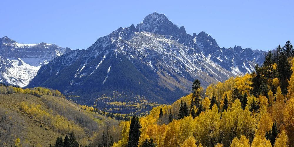
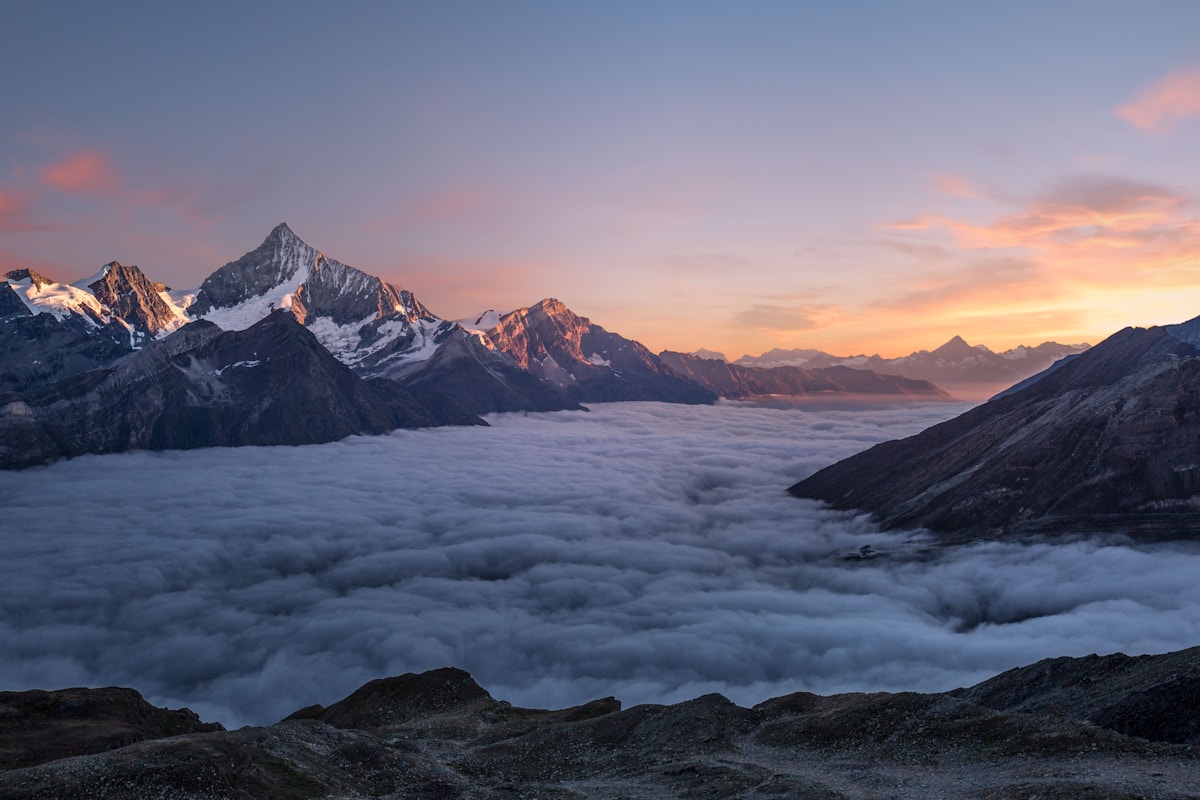 Summit views like this make every 14er climb unforgettable. Photo: Unsplash
More 14er Resources
FAQ
Can I hike a 14er with no experience?
Yes, but start with training hikes at lower elevation. Build up to 8+ mile hikes with 3,000+ feet of gain before attempting a 14er. Quandary Peak or Mount Bierstadt are ideal first climbs.
When is the best time to climb 14ers?
Late June through September offers the most reliable snow-free conditions. July and August have the most stable weather but also the most crowds. Early September can be magical with fewer people and fall colors starting.
Do I need special equipment?
For summer climbs on Class 1-2 routes, you need sturdy boots, plenty of water, warm layers, rain gear, and sun protection. No technical climbing gear is required.
How fit do I need to be?
You should be comfortable hiking 8+ miles with significant elevation gain. The altitude makes everything harder—if a 10-mile hike at sea level is challenging, you're not ready for a 14er.
What if I get altitude sickness?
Mild symptoms (headache, nausea) are common. Rest, hydrate, and if symptoms improve, continue cautiously. If symptoms worsen or you develop severe symptoms (confusion, loss of coordination), descend immediately. There's no shame in turning around.
Frequently Asked Questions
What's the easiest 14er for someone who's never hiked?
Quandary Peak near Breckenridge is the top choice for first-timers. The trail is well-marked, the parking lot has a restroom, and the route is straightforward. At 6.75 miles round trip, it's one of the shortest 14er hikes.
Can an out-of-shape person climb a 14er?
It's possible but not recommended without preparation. Start training 6-8 weeks before with cardio and elevation hikes. Acclimate by spending a few days above 8,000 feet. Choose Quandary Peak or Mt. Bierstadt and go at your own pace.
What time should I start a 14er hike?
Start before sunrise, ideally between 4-5 AM. You want to summit by noon and be below treeline by early afternoon. Colorado's afternoon thunderstorms bring dangerous lightning above treeline. Early starts also mean less crowded trails.
Do I need trekking poles for a 14er?
Trekking poles aren't required but they're highly recommended. They reduce knee strain on steep descents and improve stability on loose rock. Collapsible poles pack easily and make a noticeable difference on long, steep hikes.
Disclosure: Some links in this article are affiliate links. If you make a purchase through these links, we may earn a small commission at no extra cost to you. This helps support Colorado United and allows us to keep creating free hiking content. We only recommend products we genuinely believe in.