Mount Elbert 2026: Colorado's Tallest Peak Hiking Guide
January 6, 2026
🏔️ Planning more 14ers? Explore our Complete Guide to Colorado's 58 Fourteeners for all peak information, difficulty ratings, and planning tips.
Standing tall and proud, Mount Elbert is the tallest mountain in Colorado, reaching an impressive 14,440 feet above sea level. This giant is not only Colorado's highest peak but also the second-highest peak in the contiguous United States. In this comprehensive guide, we'll explore the beauty, challenges, and rewards of conquering Mount Elbert, including tips for planning your adventure and insights into the surrounding landscape.
A Majestic Icon of Colorado's Landscape
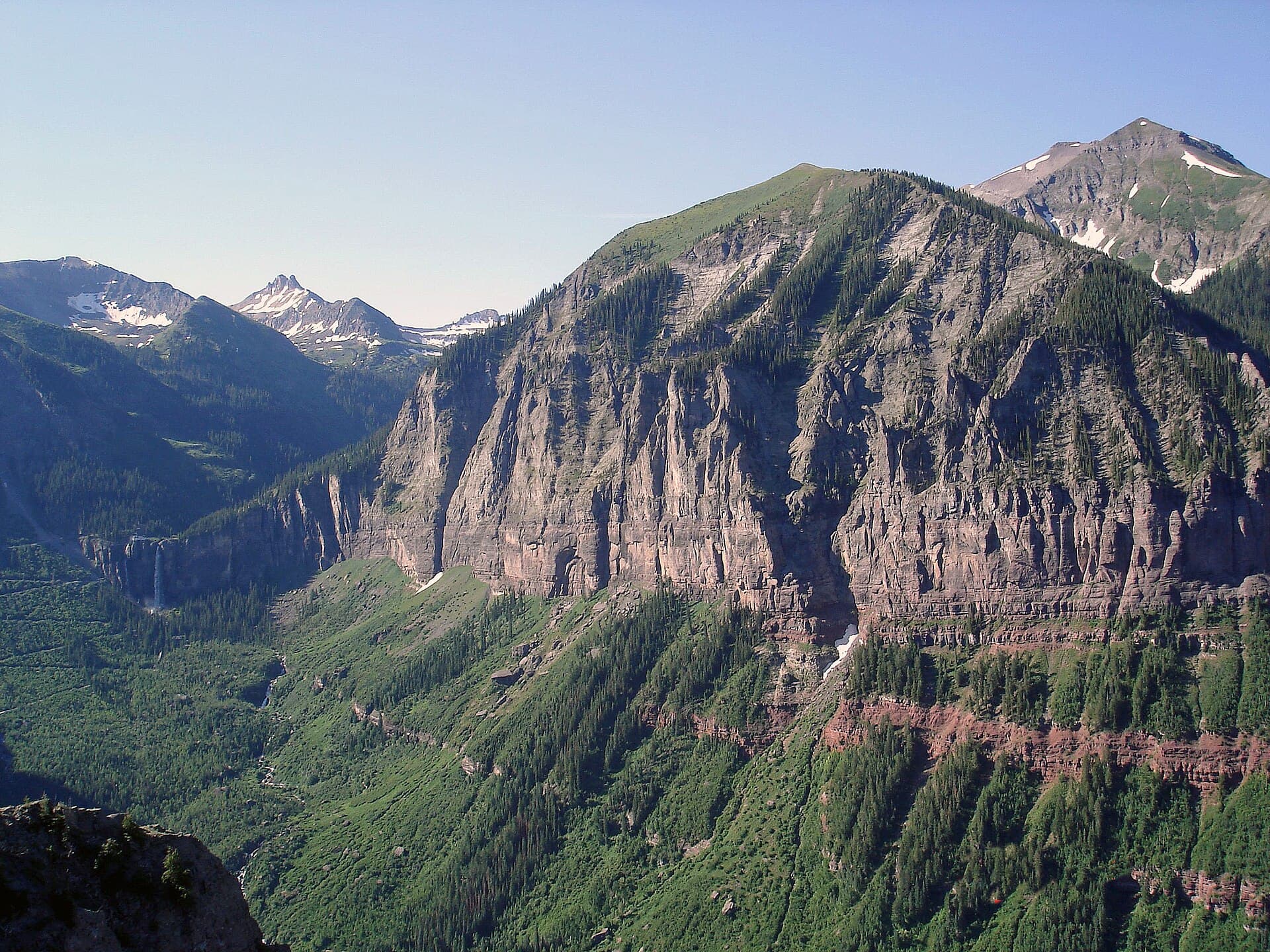
Mount Elbert is nestled within the heart of the Sawatch Range, a subrange of the Rocky Mountains, and is surrounded by the vast and pristine San Isabel National Forest. This iconic peak is named after Samuel Hitt Elbert, a prominent politician who served as Colorado's territorial governor and played a vital role in Colorado's early history.
The mountain's towering presence is not only an awe-inspiring sight but also serves as a beacon for hikers, climbers, and outdoor enthusiasts who are eager to test their mettle against this Colorado giant. Every year, thousands of hikers make the pilgrimage to stand atop the Centennial State's highest point.
Key Facts about Mount Elbert:
-
Elevation: 14,440 feet (4,401 meters)
-
Location: San Isabel National Forest, Sawatch Range
-
Rank: Tallest peak in Colorado, 2nd tallest in the contiguous United States
-
Prominence: 9,093 feet
-
Difficulty: Class 1 (non-technical hiking)
-
Best Season: June through September
Hiking and Climbing Mount Elbert: Routes to the Summit
There are three main routes to the summit of Mount Elbert, each varying in difficulty, distance, and elevation gain. These trails are well-marked and maintained, making the mountain accessible for both seasoned climbers and adventurous hikers.
1. Northeast Ridge Route (North Elbert Trail)
-
Trailhead: North Mount Elbert Trailhead (elevation 10,040 ft)
-
Distance: 9 miles round trip
-
Elevation Gain: 4,700 feet
-
Difficulty: Moderate
-
Time: 6-8 hours
The Northeast Ridge Route is the most popular and well-traveled path to the summit of Mount Elbert. The trail begins at the North Mount Elbert Trailhead and follows a steady, moderate incline through beautiful alpine forest before emerging above treeline. The well-marked path makes it an ideal choice for first-time 14er climbers. Expect company on summer weekends!
2. South Mount Elbert Trail (East Ridge Route)
-
Trailhead: South Mount Elbert Trailhead (elevation 9,560 ft)
-
Distance: 11 miles round trip
-
Elevation Gain: 4,900 feet
-
Difficulty: Moderate to challenging
-
Time: 7-9 hours
The East Ridge Route offers a slightly more challenging ascent to the summit. Starting at the South Mount Elbert Trailhead, hikers follow the Colorado Trail before branching off onto the East Ridge. This route is longer and steeper than the Northeast Ridge Route, but it offers more solitude and stunning views of the Twin Lakes below.
3. Black Cloud Trail (Southwest Ridge Route)
-
Trailhead: Black Cloud Trailhead (elevation 9,700 ft)
-
Distance: 11 miles round trip
-
Elevation Gain: 5,300 feet
-
Difficulty: Challenging
-
Time: 8-10 hours
The Southwest Ridge Route, also known as the Black Cloud Trail, is the most challenging of the three routes to the summit. This steep, strenuous climb offers incredible views of the surrounding landscape but requires a high level of fitness and experience. The trailhead can be difficult to access, adding to the adventure.
Essential Gear for Climbing Mount Elbert
Proper preparation is crucial for a successful and safe summit attempt. Here's what you'll need:
-
Footwear: Sturdy hiking boots with good ankle support — shop hiking boots on Amazon
-
Clothing: Layered clothing including moisture-wicking base layers, insulating mid-layers, and a waterproof shell jacket
-
Navigation: Trail map and compass or GPS device
-
Sun Protection: Sunscreen, sunglasses, and a hat – UV exposure is intense at altitude
-
Hydration: At least 3 liters of water and electrolyte supplements
-
Food: High-energy snacks and a lunch
-
Emergency Gear: First aid kit, headlamp, emergency shelter, and whistle
-
Trekking Poles: Trekking poles help significantly on steep terrain
Tips for Conquering Mount Elbert
Whether you're an experienced mountaineer or a hiking enthusiast, it's crucial to be prepared for the challenges of climbing Mount Elbert. Here are some essential tips to help you on your journey to the summit:
-
Acclimate: Spend a few days at higher elevations before your hike to help your body adjust to the altitude. Consider staying in Leadville (elevation 10,152 ft) the night before.
-
Start Early: Aim to hit the trailhead by 5-6 am to allow plenty of time for your ascent and descent. This also helps you avoid afternoon thunderstorms, which are common in Colorado summers.
-
Watch the Weather: Colorado's mountain weather is notoriously unpredictable. Check forecasts and be prepared to turn back if storms approach.
-
Stay Hydrated: The dry mountain air and high altitude can quickly lead to dehydration. Drink water regularly, even if you don't feel thirsty.
-
Know Your Limits: Altitude sickness can affect anyone. If you experience severe headaches, nausea, or dizziness, descend immediately.
-
Leave No Trace: Pack out everything you pack in and stay on established trails to protect this beautiful alpine environment.
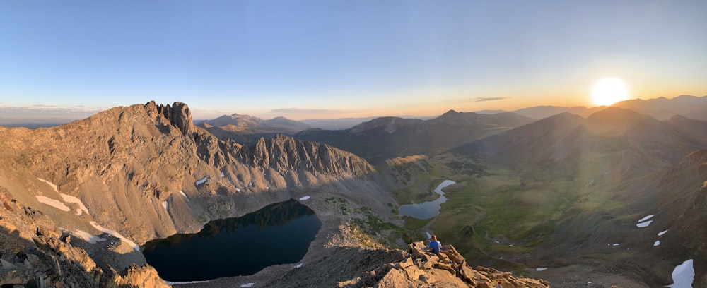
What to Expect at the Summit
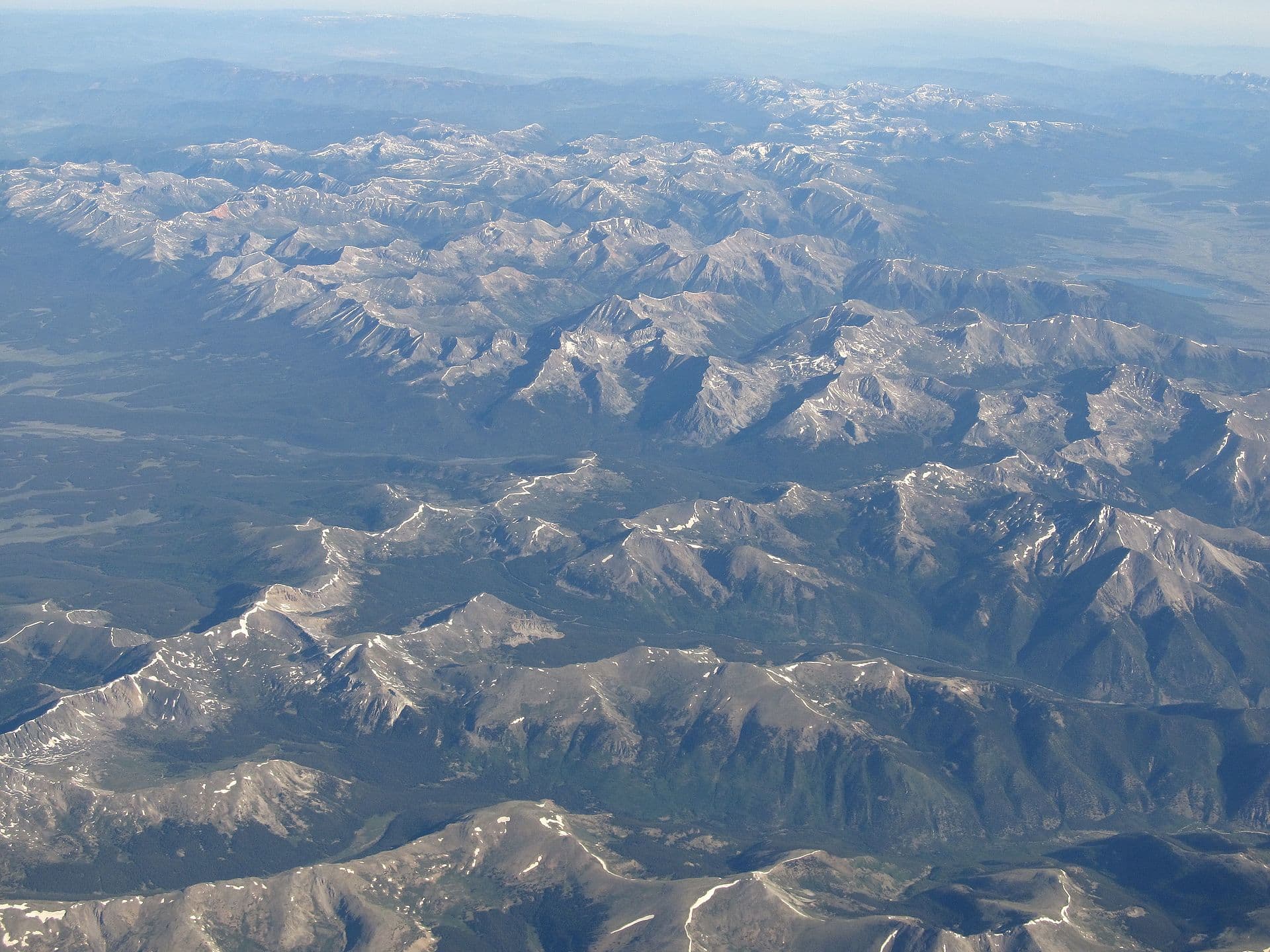
Reaching the summit of Mount Elbert is a truly rewarding experience. On a clear day, you'll be treated to 360-degree panoramic views of the Rocky Mountains, including nearby peaks like Mount Massive (Colorado's second-highest at 14,428 ft), the Collegiate Peaks, and the distant Sangre de Cristo Range.
The summit itself is a broad, rocky plateau with a USGS benchmark and a summit register where you can add your name to the list of those who have conquered Colorado's highest peak. Take time to savor the moment – you've earned it!
Nearby Attractions and Camping
After your climb, explore the beautiful area surrounding Mount Elbert:
-
Twin Lakes: A picturesque pair of glacial lakes perfect for fishing, kayaking, or simply relaxing
-
Leadville: Colorado's highest incorporated city, with historic mining town charm and great restaurants
-
Independence Pass: One of Colorado's most scenic drives, open seasonally
-
Mount Massive Wilderness: Offers additional hiking opportunities
For camping, the Elbert Creek Campground near the North Elbert Trailhead offers convenient access to the mountain. Dispersed camping is also available in the surrounding national forest.
Plan Your Mount Elbert Adventure
Climbing the tallest mountain in Colorado is an achievement you'll never forget. With proper preparation, the right gear, and respect for the mountain, you can join the thousands of hikers who summit Mount Elbert each year.
Looking for more Colorado hiking adventures? Check out our guides to the easiest 14ers in Colorado and best Colorado hiking trails. Browse our trail directory for detailed info on trails across the state, or check our trekking pole guide and daypack reviews for 14er gear.
Frequently Asked Questions
How hard is it to climb Mount Elbert?
Mount Elbert is a Class 1 hike, meaning it's a walk-up with no technical climbing. However, it's still demanding with 4,700 feet of elevation gain over 11 miles. The altitude (14,439 feet) is the biggest challenge for most hikers.
How long does it take to hike Mount Elbert?
Most hikers complete Mount Elbert in 6-10 hours round trip. The North Elbert Trail is shorter but steeper, while the South Elbert Trail is longer but more gradual. Start by 5 AM to avoid afternoon storms.
When is the best time to climb Mount Elbert?
Late June through September offers the safest conditions. July and August have the most stable weather, but afternoon thunderstorms are still common. Avoid climbing when snow covers the trail unless you have winter gear experience.
Do I need a permit to climb Mount Elbert?
No permit is required to climb Mount Elbert. Parking at the trailhead is free but limited. The North Elbert trailhead fills up fast on summer weekends, so arrive early or use the South Elbert trailhead as an alternative.
Disclosure: Some links in this article are affiliate links. If you make a purchase through these links, we may earn a small commission at no extra cost to you. This helps support Colorado United and allows us to keep creating free hiking content. We only recommend products we genuinely believe in.